Autodesk AutoCAD Civil 3D
 Autodesk AutoCAD Civil 3D is a software product for engineers working on transportation, land management, and water projects. Users are able to coordinate projects, explore design alternatives, simulate facility operation, and produce high-quality documentation.
Used in civil and industrial construction.
Designed for architects, designers and design engineers.
AutoCAD Civil 3d is designed for land surveyors, master plan designers, linear structures and road infrastructure. Linking between objects allows you to dynamically update all related elements. Based on information modeling technology (BIM)
Benefits of AutoCAD Civil 3d
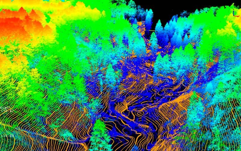
Designing in Civil 3D is distinguished by intelligent communication between objects, allows you to read and process data from modern electronic total stations and GNSS systems, connect data from all types of laser scanning systems (ground, air, kinematic and bathymetric), using the connected data, you can create a digital terrain model
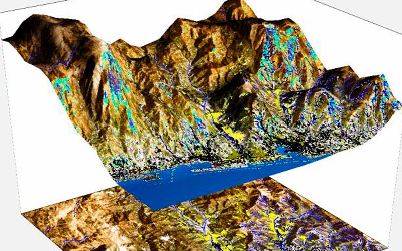
Formation of a digital elevation model
The surface of the earth is the base for most civil engineering structures. Civil 3D allows using BIM technology to create digital modeling of topographic surfaces in the design of master plans and infrastructure facilities.
Based on data from modern electronic tacheometers, 3D laser scanners and GNSS systems, a digital terrain model (DEM) is automatically generated or, in a semi-automatic mode, a digital terrain model.
Processing data from various sources
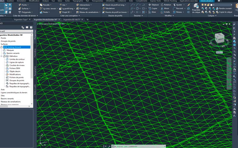
AutoCAD Civil 3D includes a variety of tools that allow you to load data into a project as separate files, import databases, process information, edit it, use it to generate three-dimensional models, perform analysis, make design decisions, extract data to external files, and exchange design information .
As a basis, point clouds after laser 3d scanning of the terrain, the built-in functionality of Map 3D, as well as open public GIS data can be used.
Automation of the full cycle of work
The approach with the creation of a single digital surface model allows you to better coordinate the work on the project, visualize the result and create high-quality working documentation. The ability to independently create applications - plugins, add-ons and add-ons.
AutoCAD Civil 3D automates the full cycle of design work: from geodetic surveys to the construction of an object. With capabilities such as field data transfer, calculations, and automated drafting, Civil 3D tools streamline all processes associated with the design of industrial and civil facilities.